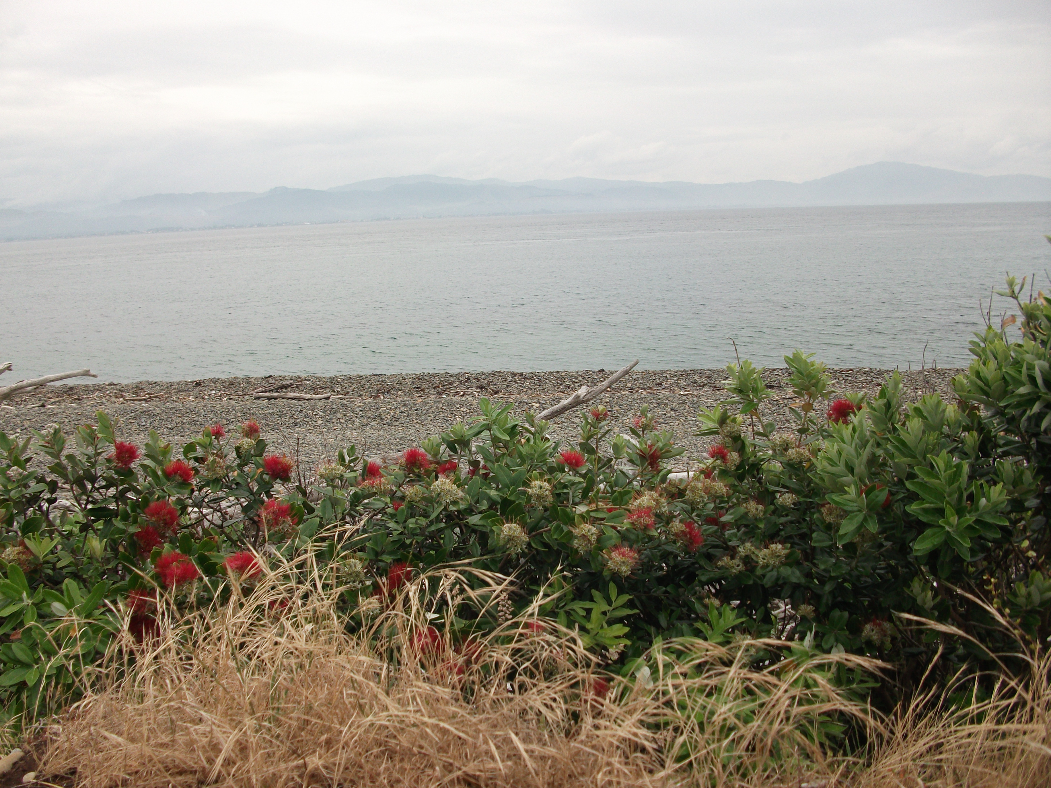
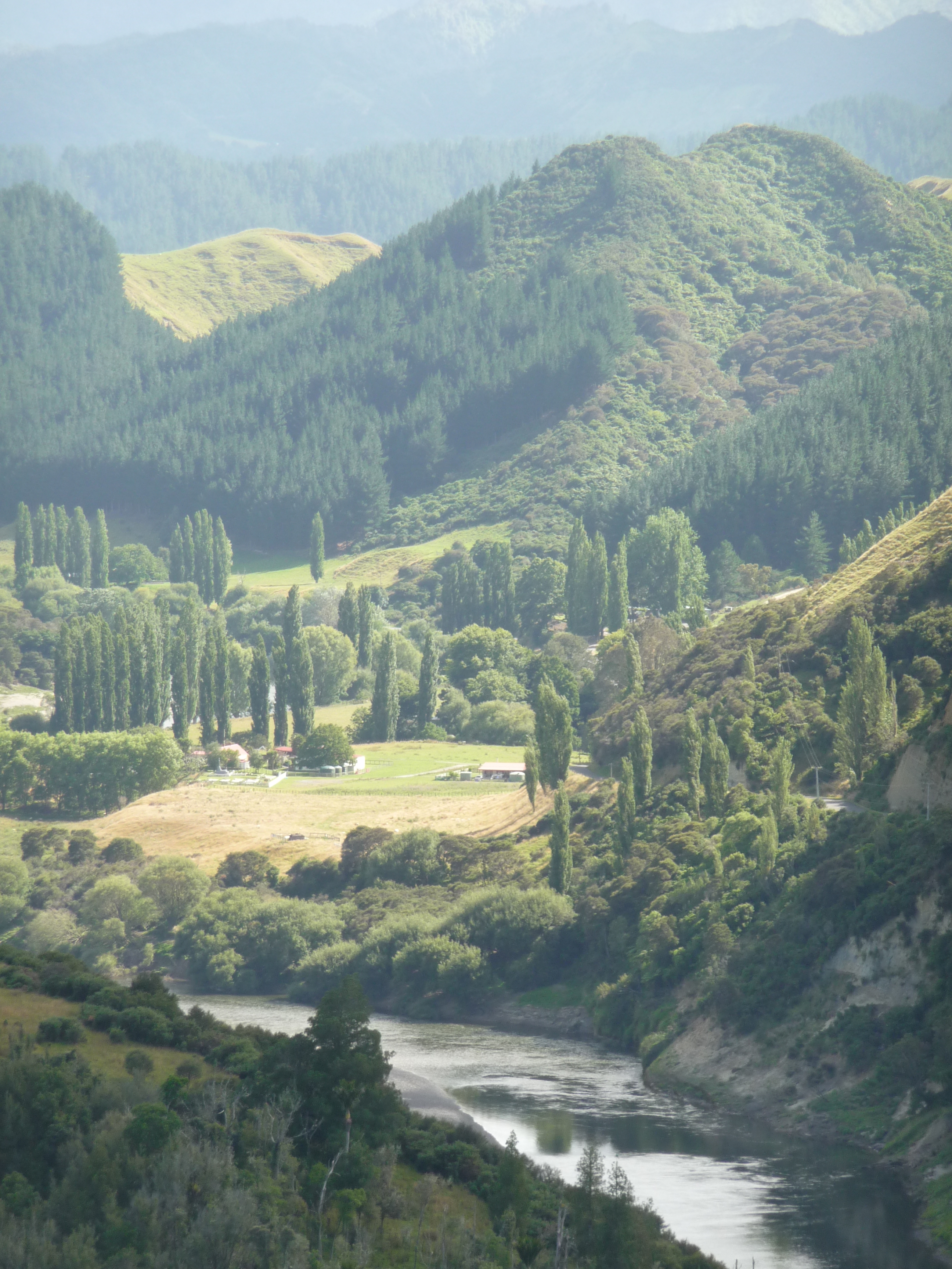
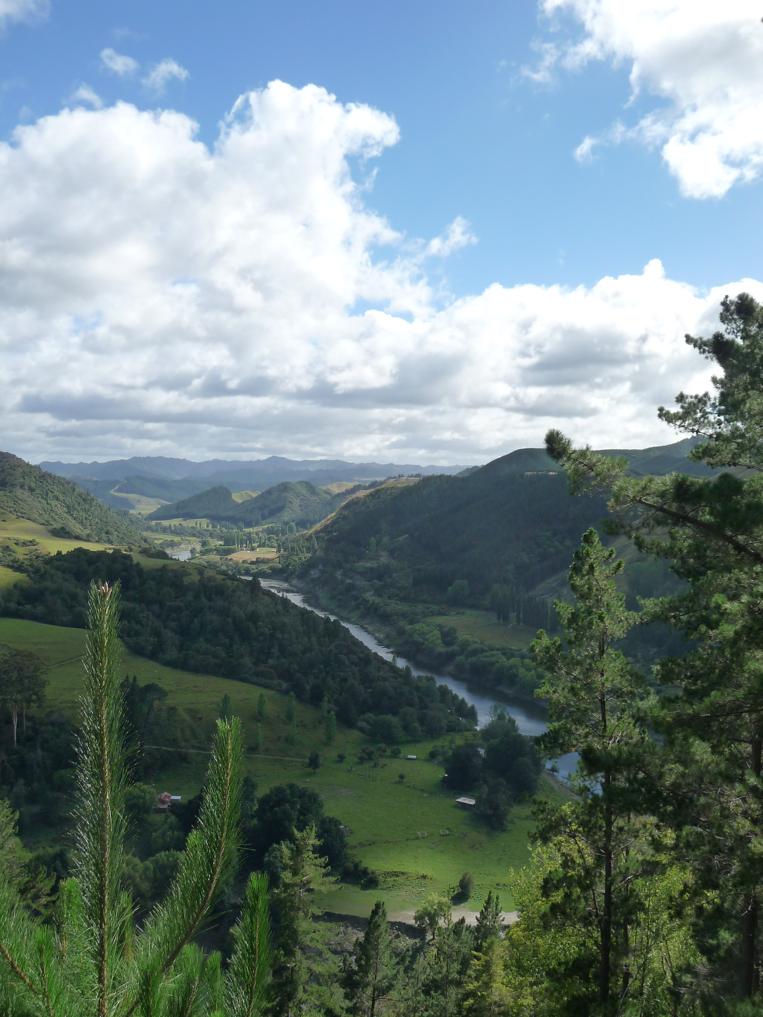
Whanganui river
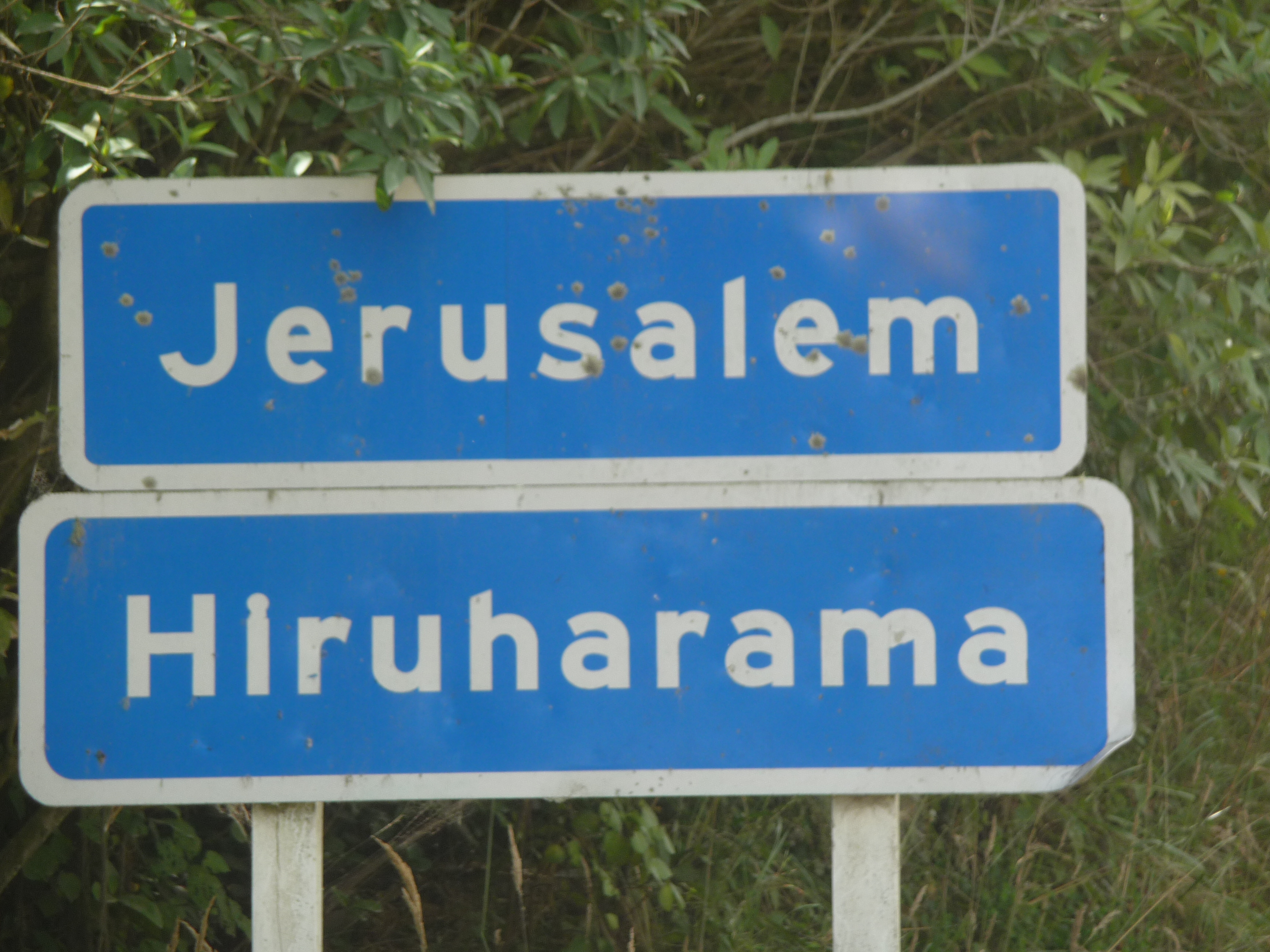
Athens, Corinth, London, Jerusalem – a roll call of destinations to make your mouth water. Last Friday I visited all of them but didn’t have to go to Europe or the Middle East. The places I went to were along the Whanganui River where most of them are more commonly known by their transliterated Maori names of Atene, Koriniti, Ranana and Hiruharama.
Driving along the Whanganui river road was my ticket to these alluring destinations. The road was completed in 1934 to provide overland access to what is still a remote part of New Zealand. Before the road opened almost the only way to get to this area was by riverboats which steamed up the river from Whanganui to Pipiriki. As we drove out of Whanganui we saw a restored steamer moored on the side of the river, but nowadays they only go a short way up the river – nowhere nearly as far as we were venturing.
With a full tank of petrol (there are no petrol stations along the road’s 79 kilometres) we set off to sample a piece of historic New Zealand. The road climbed steeply almost immediately and once we go to the top we stopped to eat our muffins and drink our tea while looking far below to the river.
Whanganui river
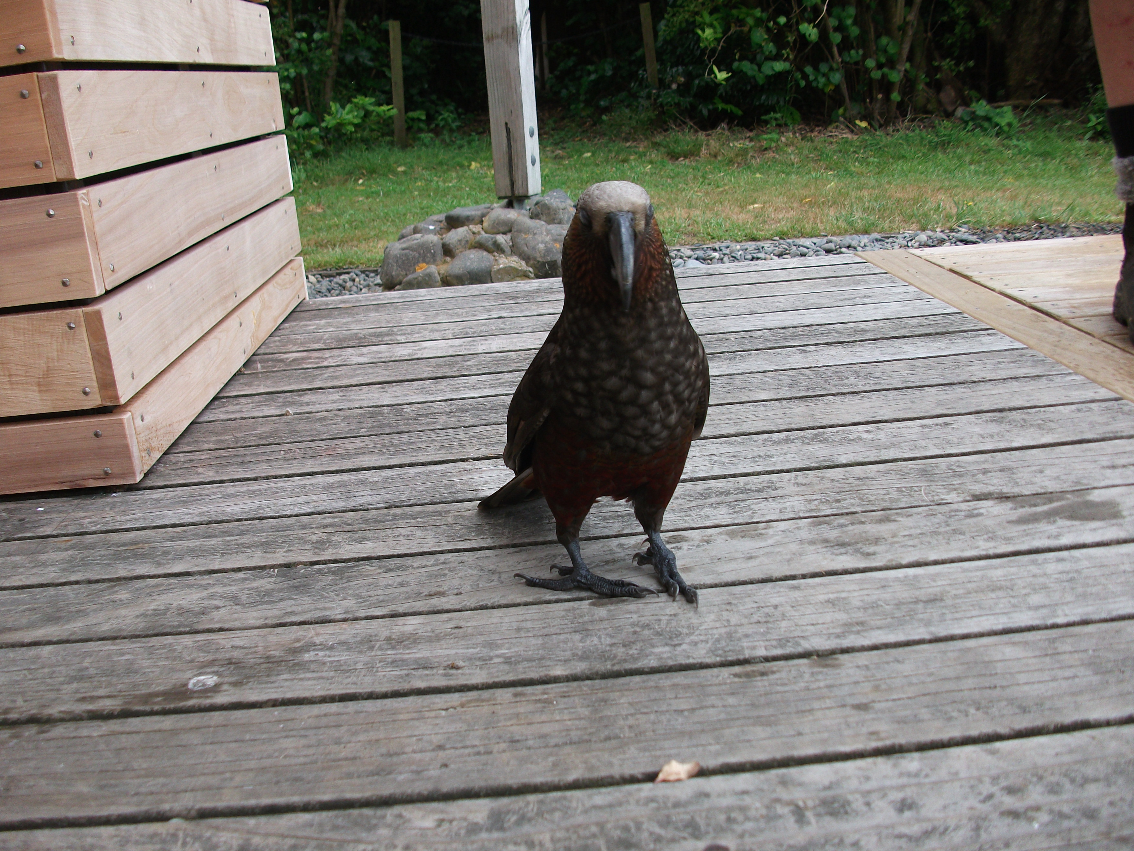
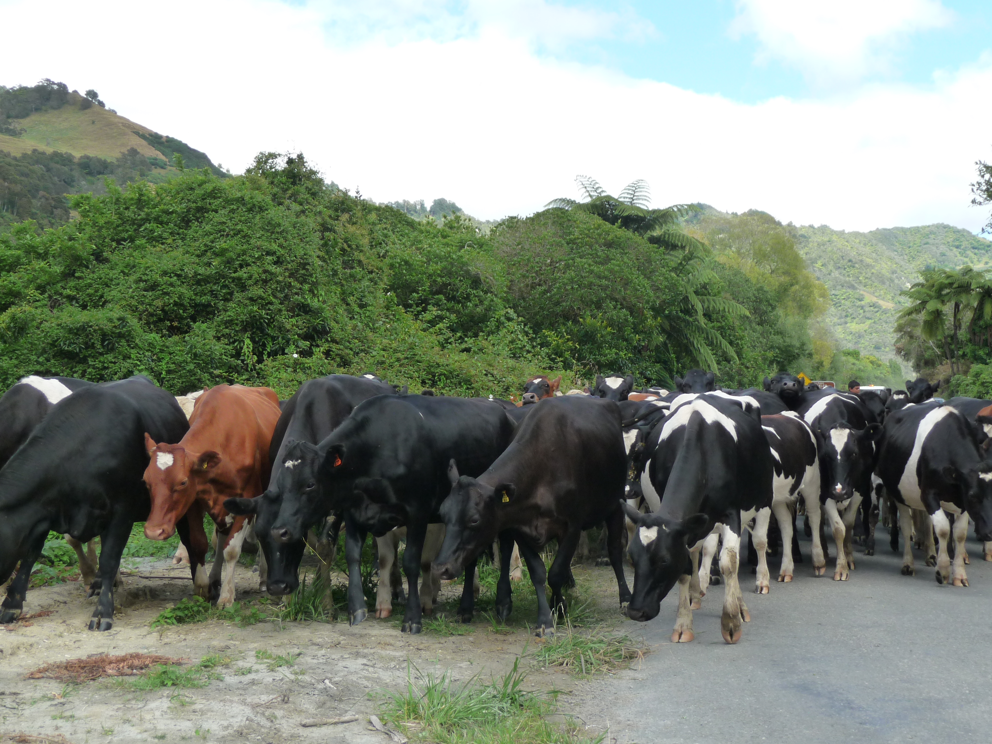
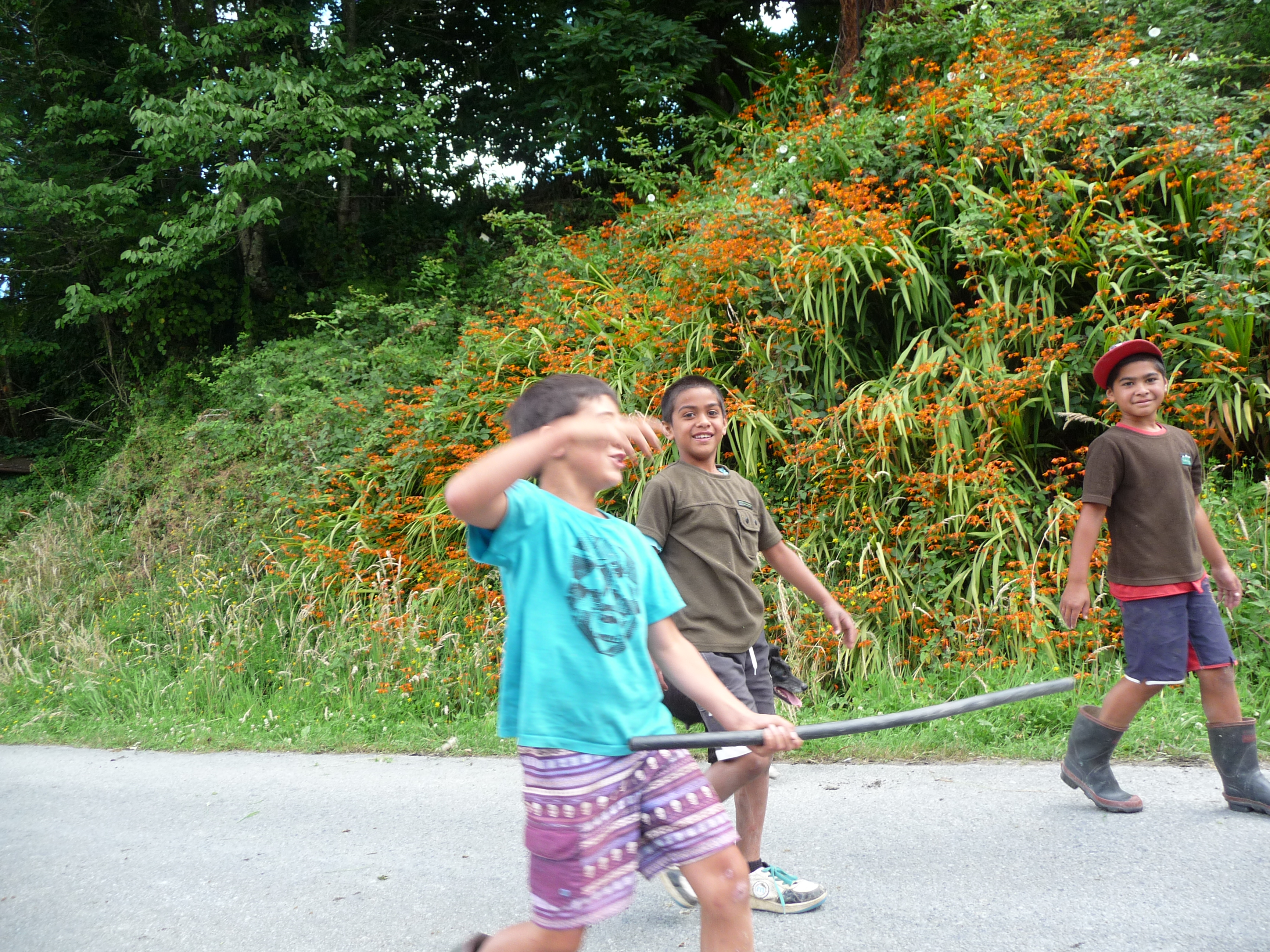
We only saw one other car on the road that day and a couple of farm vehicles, but lots of animals. Turning a corner near Koriniti a flock of sheep were being harried along the road by four collies directed by a farmer, so we stopped while they moved onwards. Further on near Jerusalem there was a herd of unruly cows. We pulled over to the side of the road as they surrounded the car, bumping into it and making it sway with the young boys herding them laughing with us as the car rocked backwards and forwards.
The settlements themselves are tiny, despite the grandeur of their names. At Ranana a cairn commemorates the 1864 Battle of Moutoa which took place during the New Zealand wars. Tribes from the upper river came down river to take the town of Whanganui from the group known as kupapa who actively supported the Crown. Around 66 Maori and one European died that day. The cairn was in the heart of the settlement which consisted of a hall and a marae, both gleaming white but with no-one around.
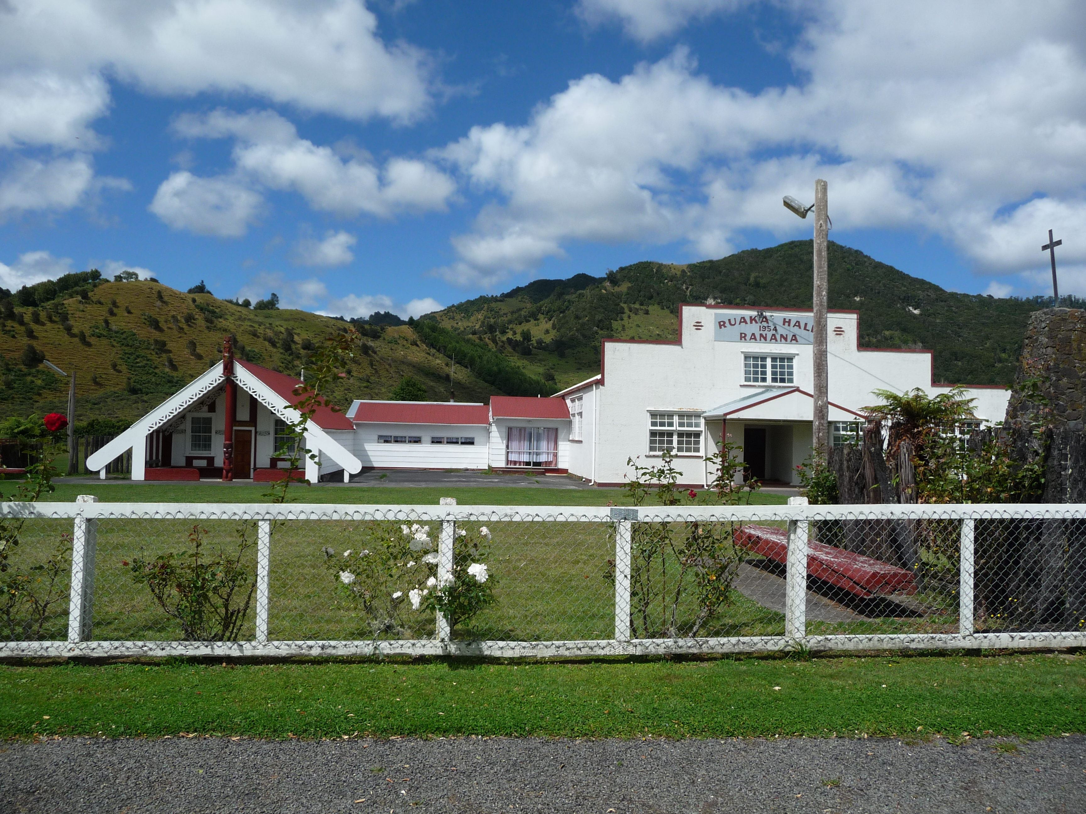
Ranana hall, marae and cairn commemorating the Battle of Moutoa
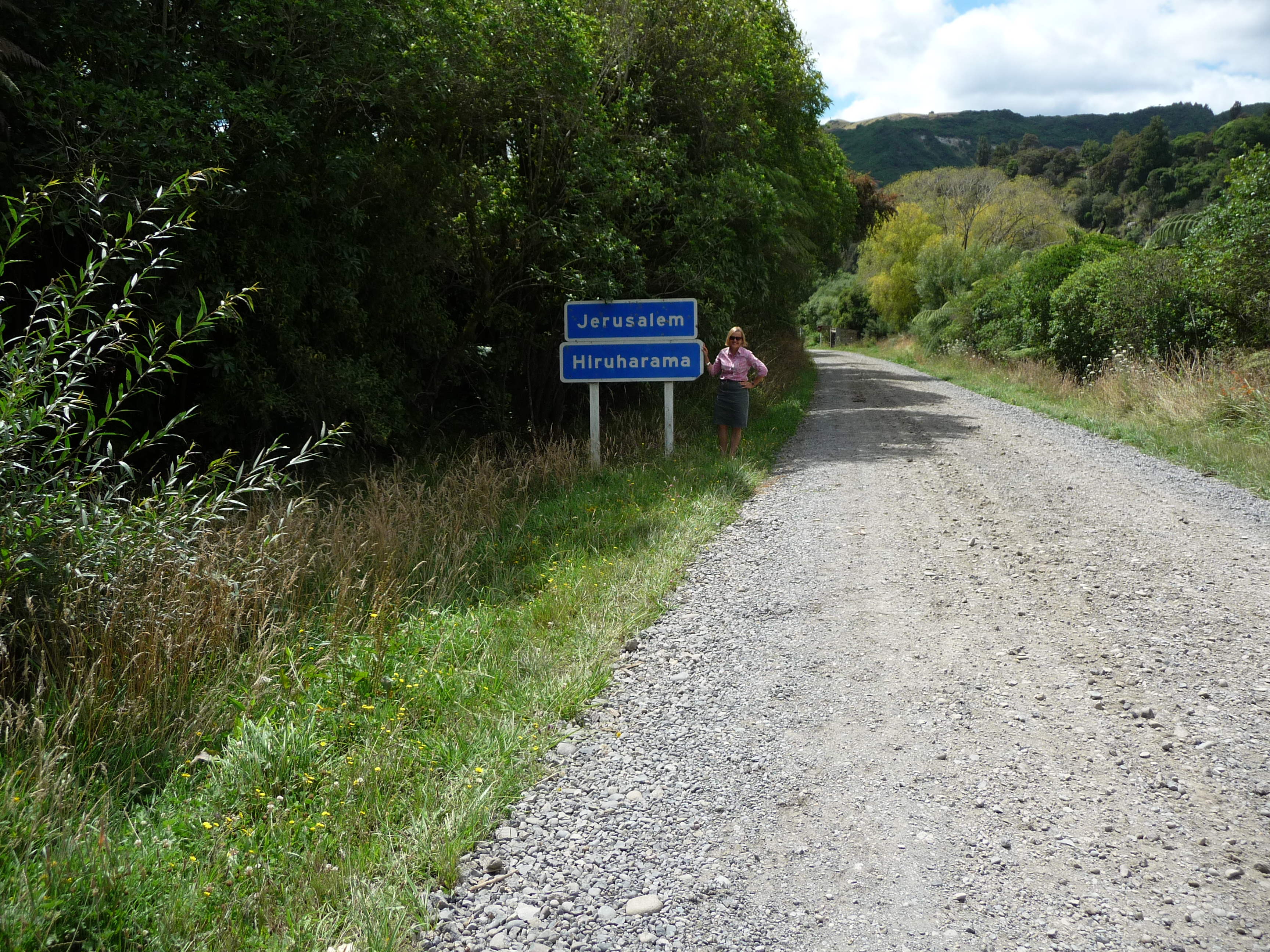
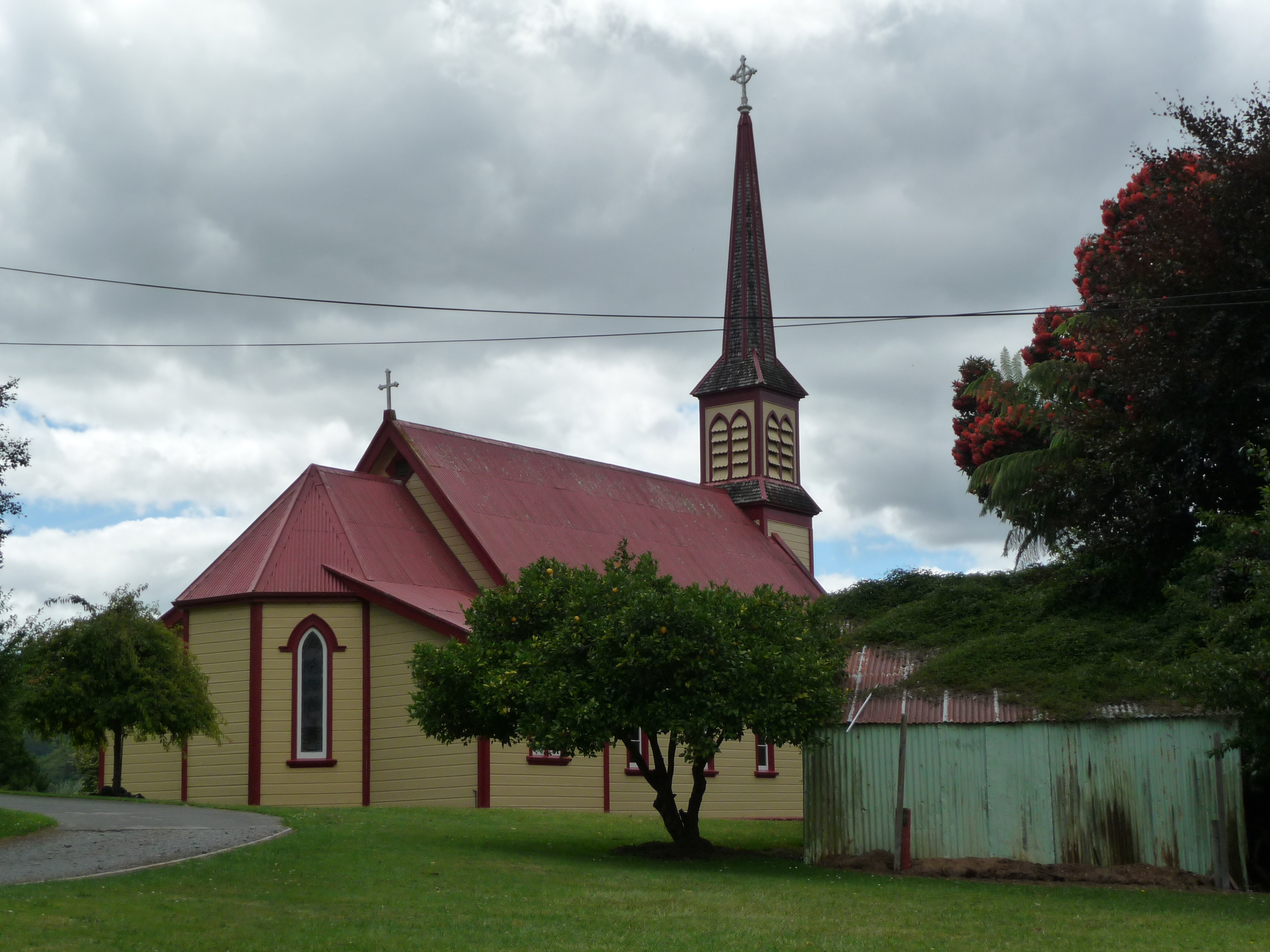
The settlement that intrigued us most was Jerusalem, which goes by that name, rather than the Maori Hiruharama. It has strong connections to two famous New Zealanders. In 1885 Mother Suzanne Aubert, a French Catholic sister started a home for orphans and the under-privileged at Jerusalem and a church and convent were built there in the 1890s. The little, wooden church is a traditional design but with a distinct local flavour; it was peaceful to sit there and think.
St Joseph’s church
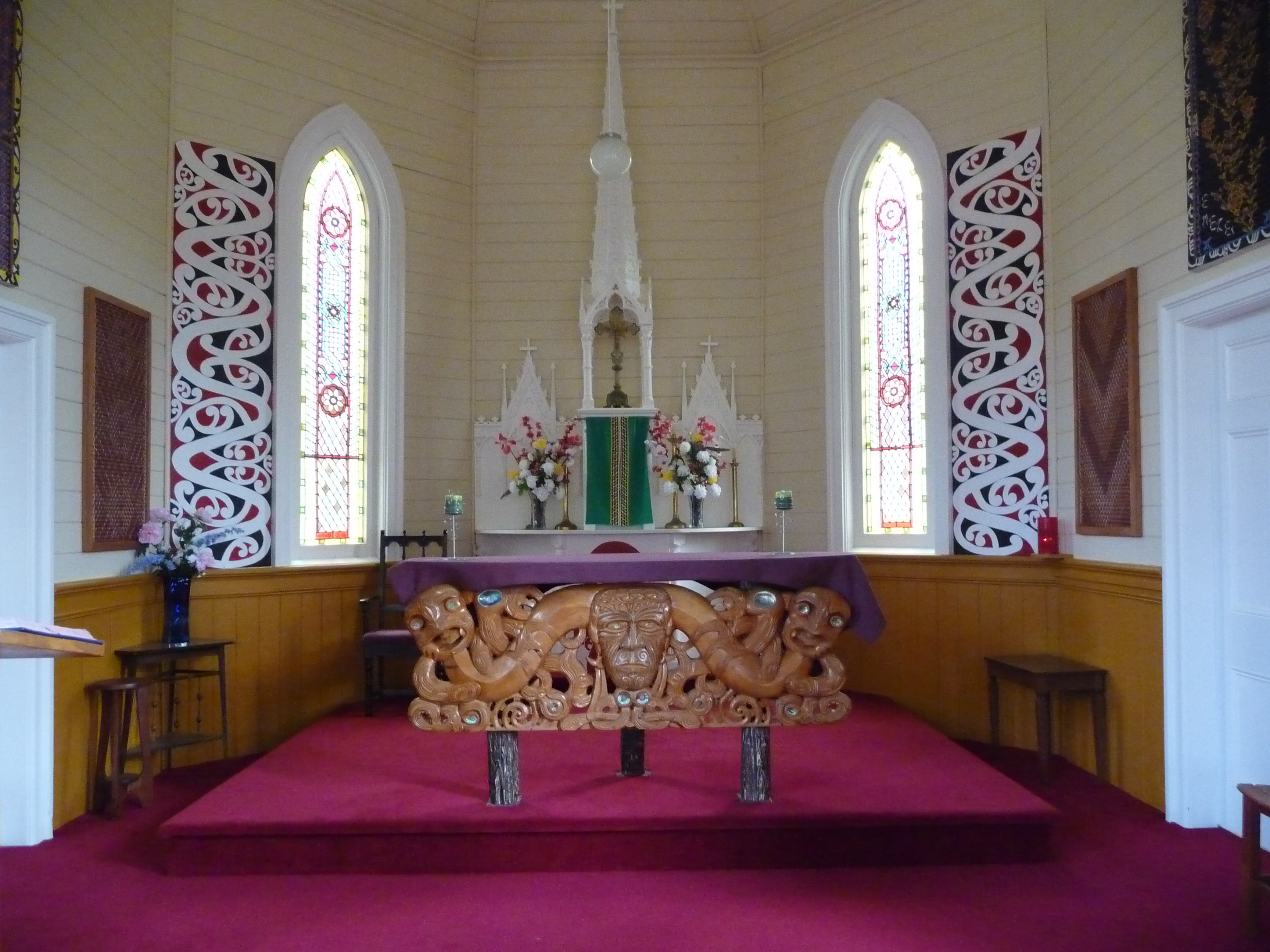
Interior, St Joseph’s church, Jerusalem
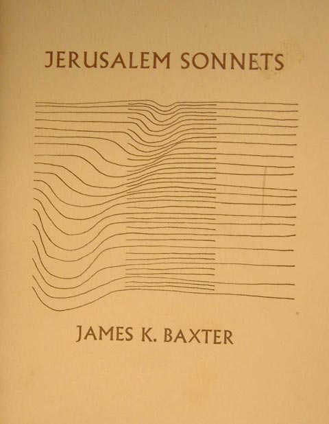
In 1970 the acclaimed poet, James K Baxter, went to Jerusalem because he had had a dream telling him to do so. In Jerusalem he adopted the Maori version of his name, Hemi, and founded a commune, living under harsh conditions and making frequent trips to nearby cities where he worked with the poor. He died in Auckland in 1972 but his body was returned to Jerusalem to be buried on Maori land in front of his commune.
The last settlement on the road is Pipiriki, the stopping point for the steamer boats of years ago. Today Pipiriki is a hub for adventure tourism and you can join trips to go canoeing and jetboating on the river or tramping in the nearby hills.
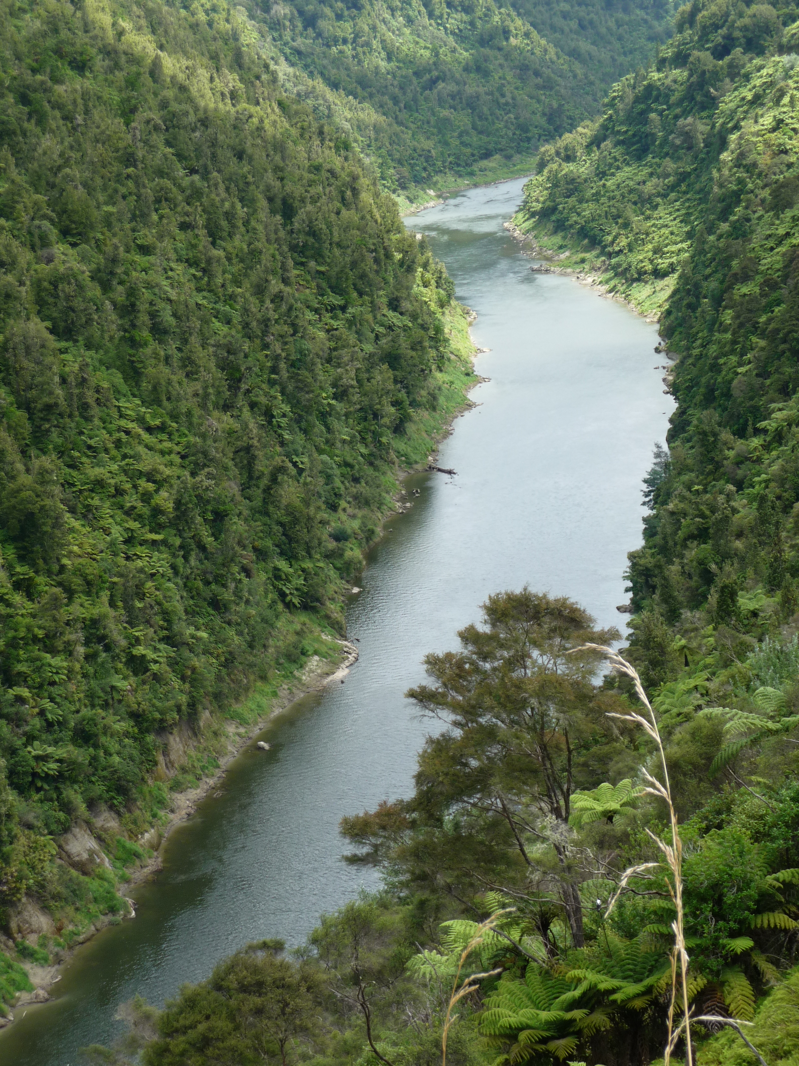
Whanganui river
The drive completed we headed towards Raetihi, talking over what we had seen that day. We might not have needed our passports but we had had a great journey all the same.