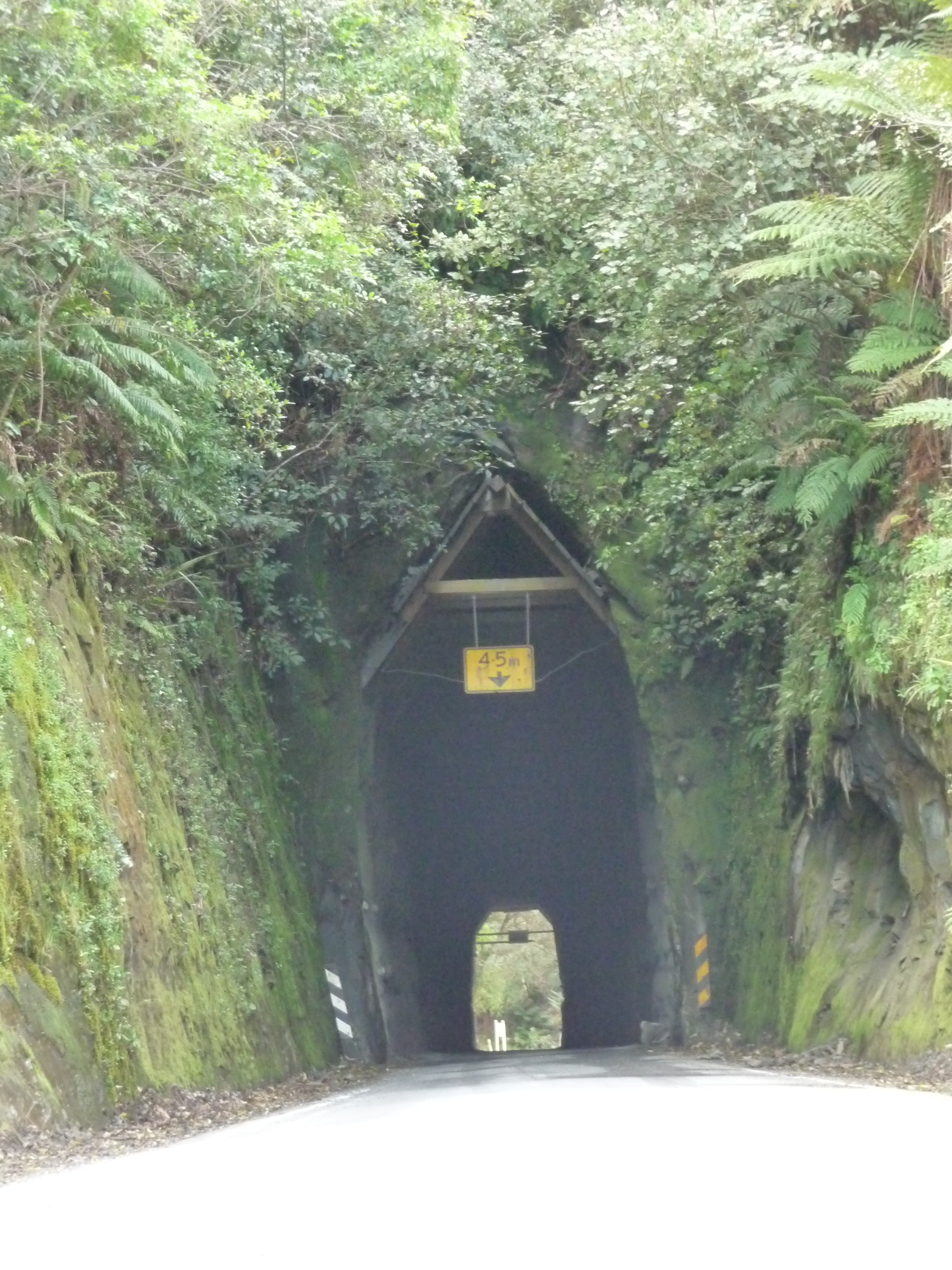
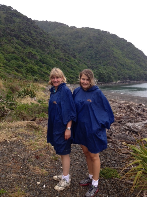
Close to Wellington, yet a world apart, Kapiti Island, a reserve and bird sanctuary run by the Department of Conservation, was the ideal place for a day out during the Christmas break. The boat operators provided the DOC permits so it was easy to organise, apart from the weather, but with the rain ponchos provided by our friendly boat captain the little rain we had didn’t bother us.
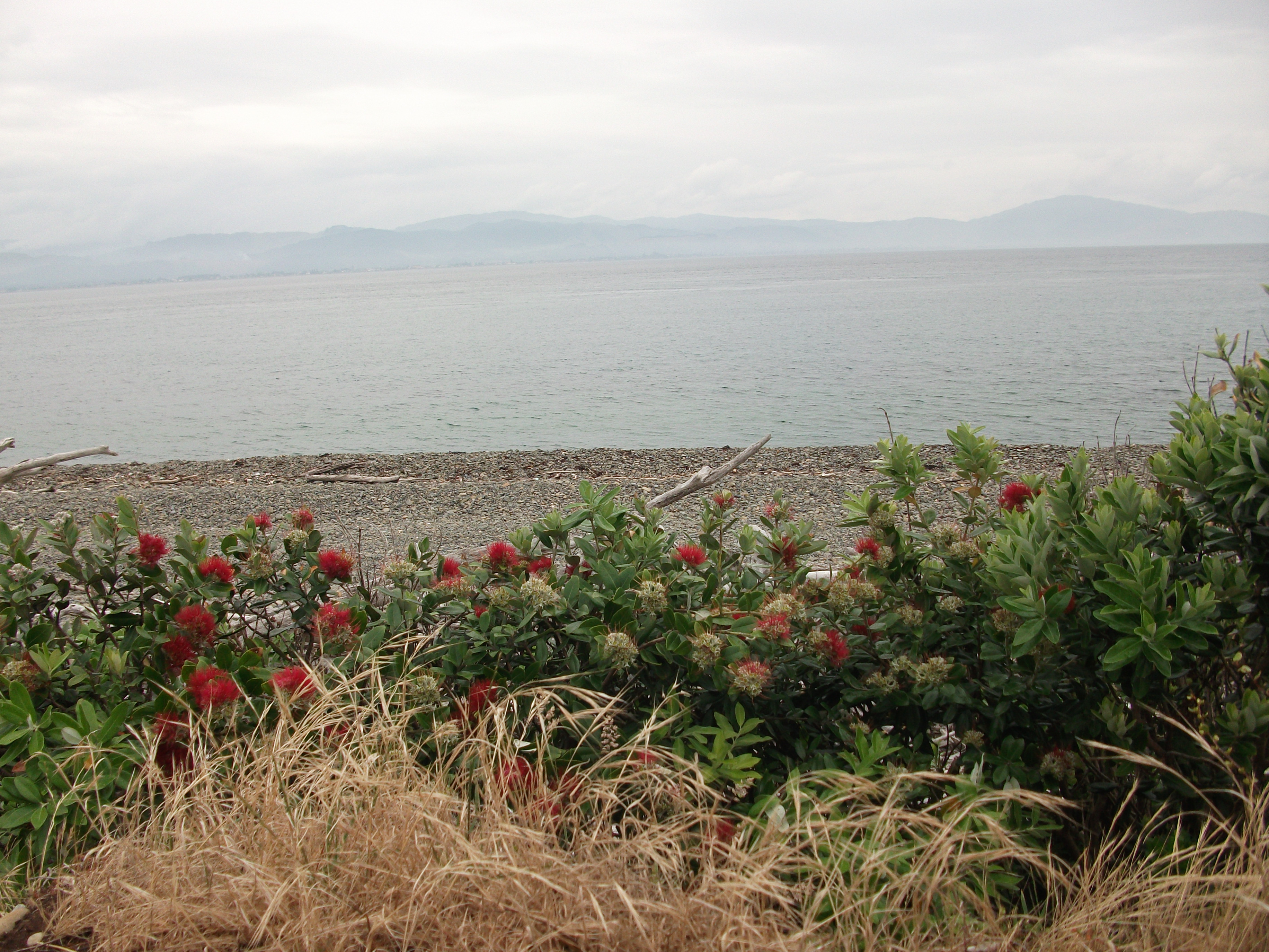
Looking towards Paraparaumu from Kapiti Island
On arrival we were given an interesting introductory talk by Brenda, one of the rangers, in the new information centre. Brenda gave us some brief background to the island and told us about the flora and fauna we could expect to see.
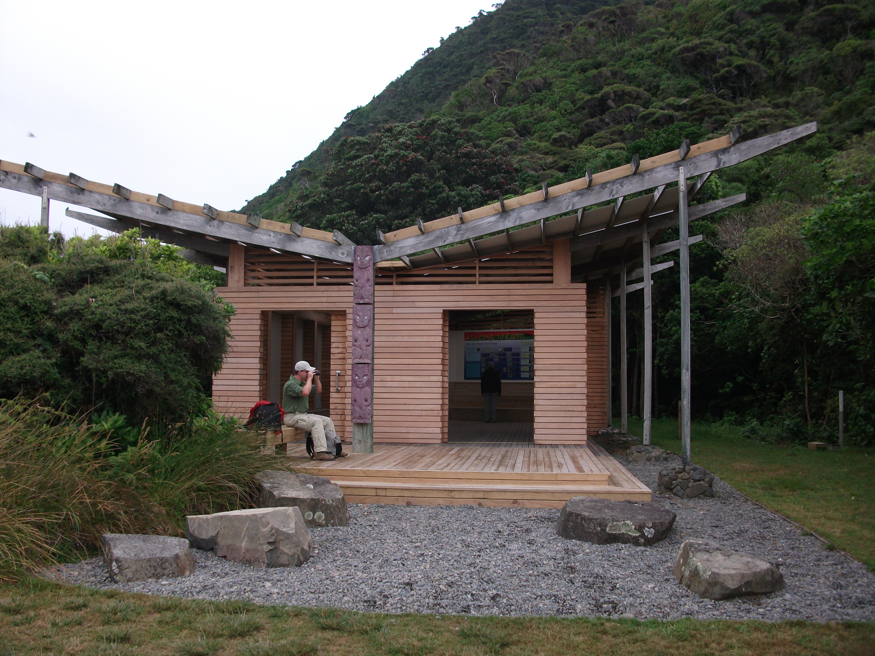
DOC Information Centre, Kapiti Island
Kapiti has a fascinating history. It has been home to a number of Maori tribes but its most famous resident was the Ngati Toa chief, Te Rauparaha who used it as his stronghold while he launched assaults against other tribes and established his control over the southern part of the North Island.
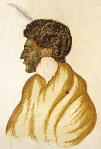
Te Rauparaha, 1840s
Whalers used the island in the 19th century and there are still two old whaling pots on the beach which were used to boil up and render the whale blubber so necessary to light the street lamps of London.
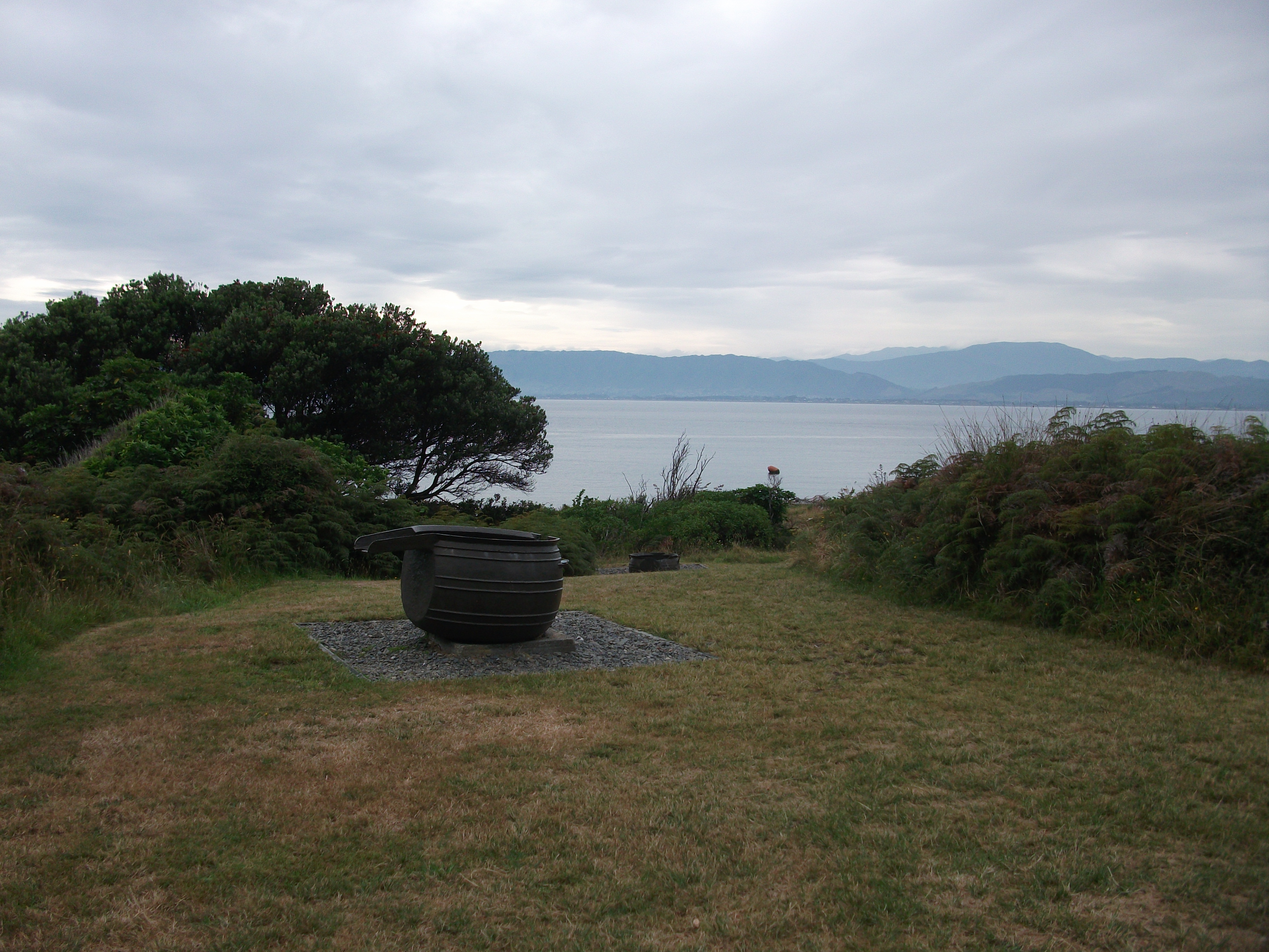
Whaling pot
Later in the 19th century Europeans tried to farm Kapiti but when you see the terrain you realise how difficult this must have been. Kapiti was designated a bird sanctuary in 1897 but significant work was necessary to bring it up to the standard it is today.
A comprehensive eradication programme has taken place over many decades to rid the island of any predators and our luggage was checked on the boat before we left the mainland.
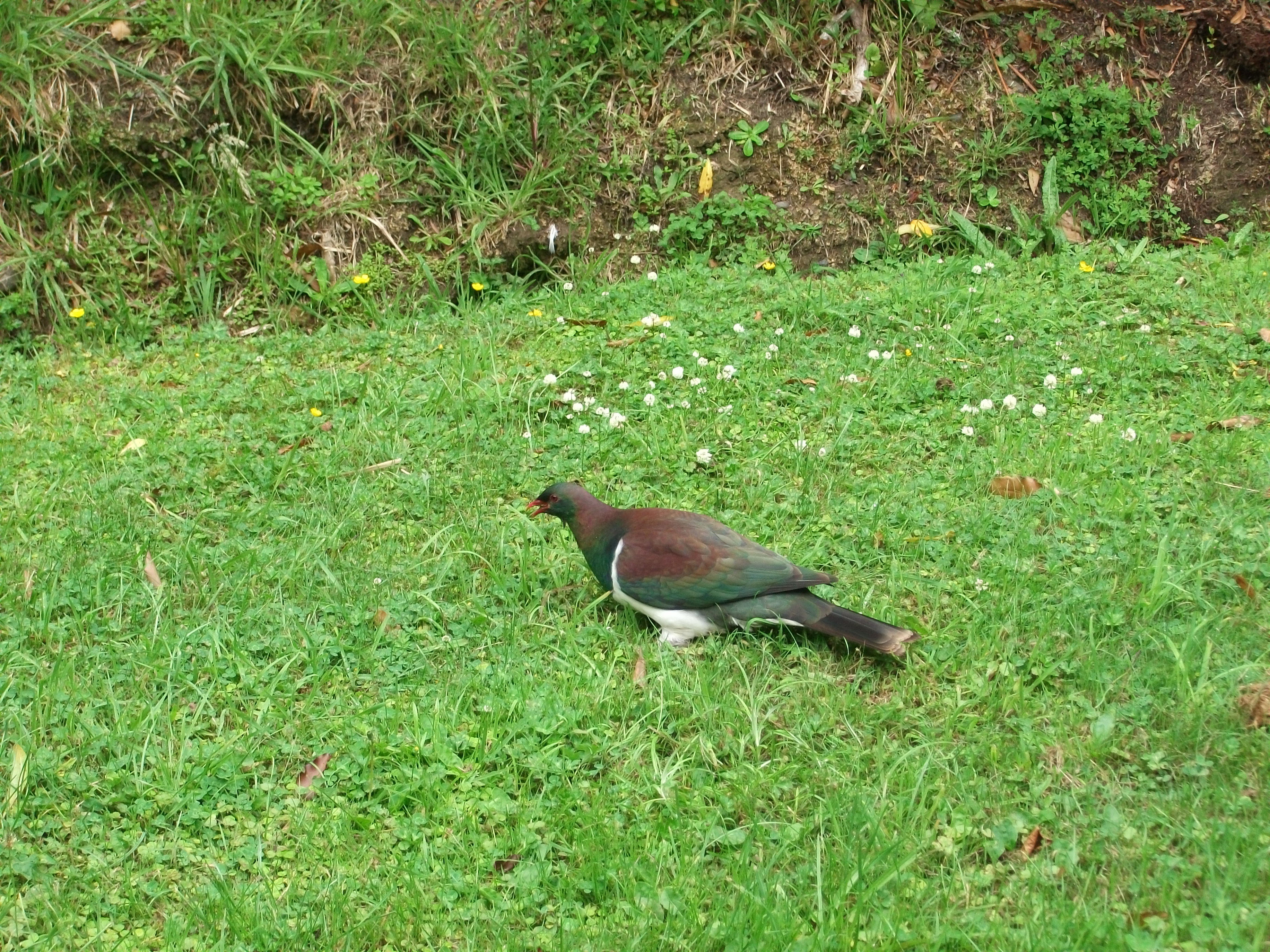
Kereru (wood pigeon)
As well as more common birds such as the bell bird, the wood pigeon and the fantail, several endangered species have also been transported to Kapiti such as the little spotted kiwi and the takahe.
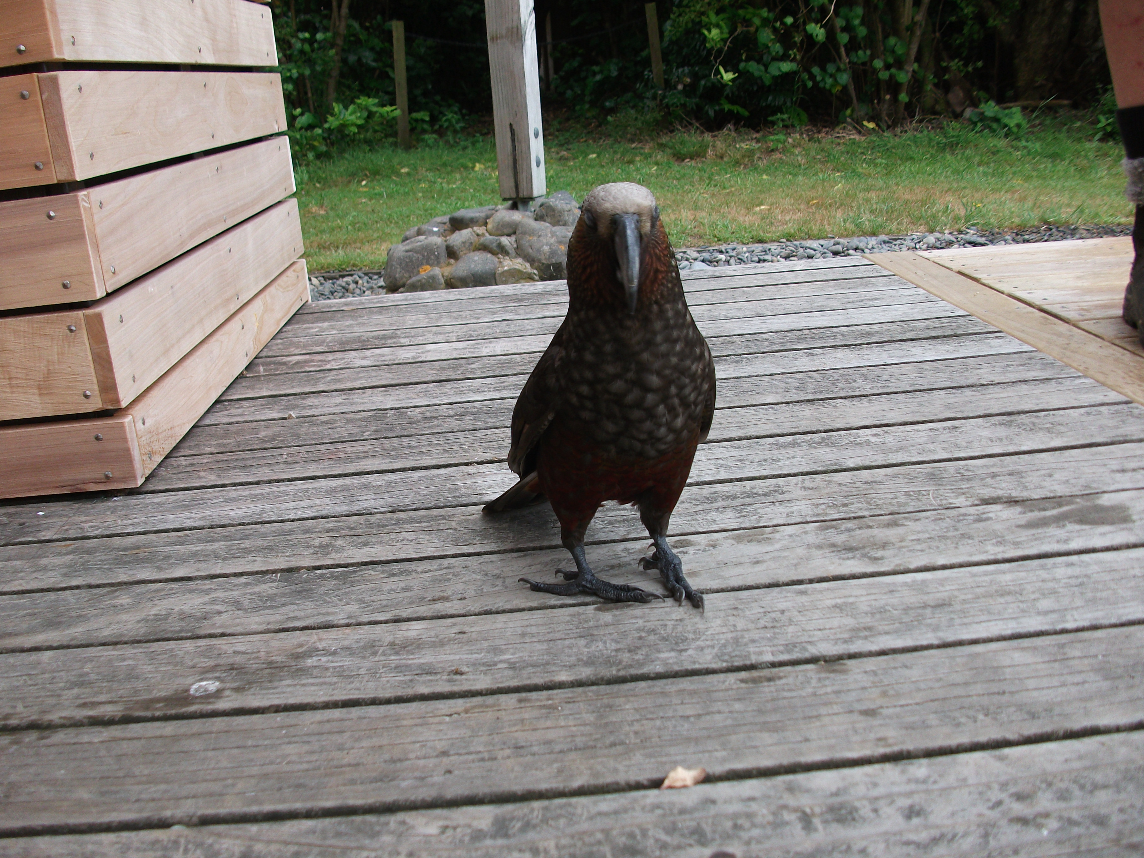
Kokako
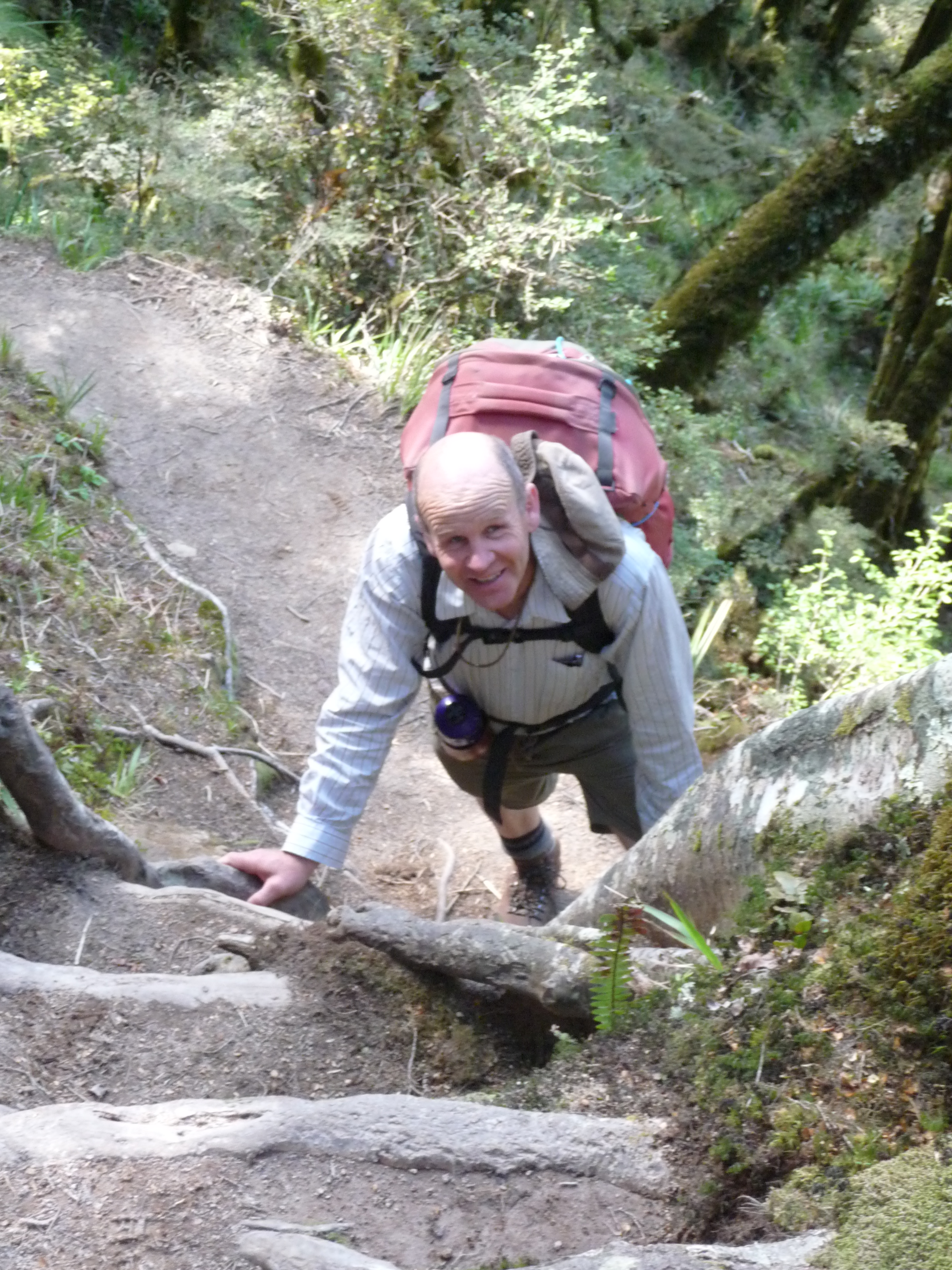
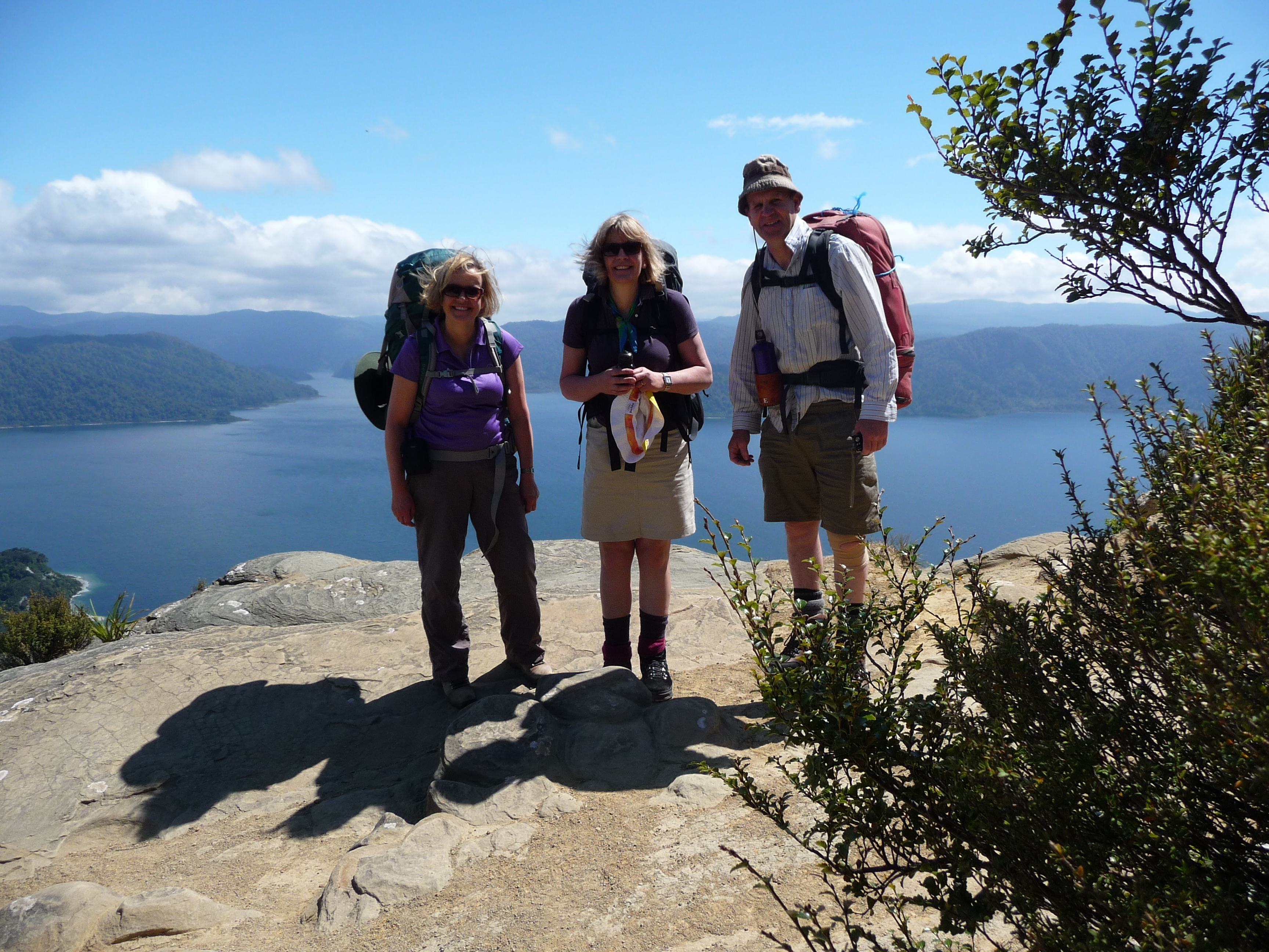
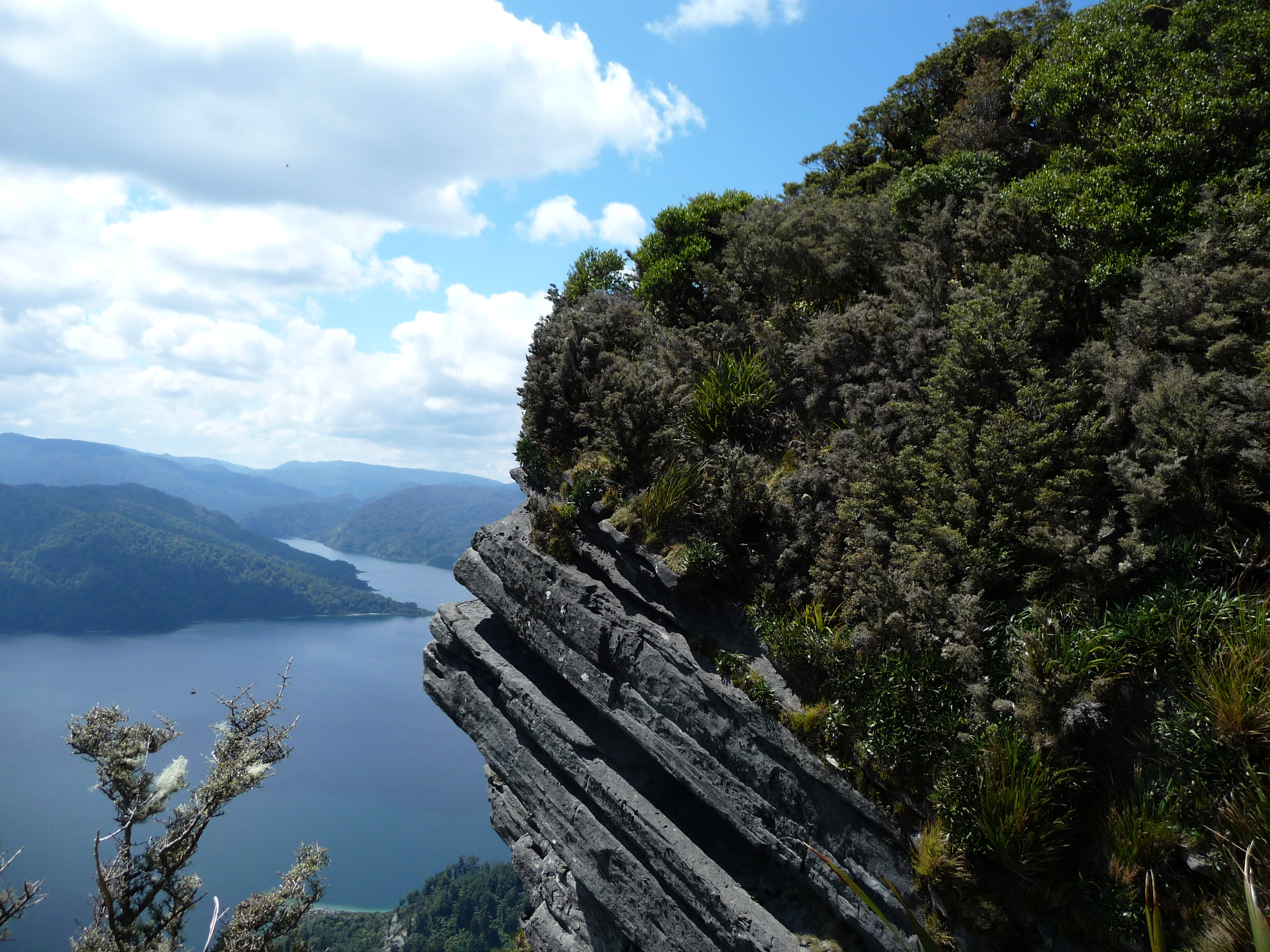
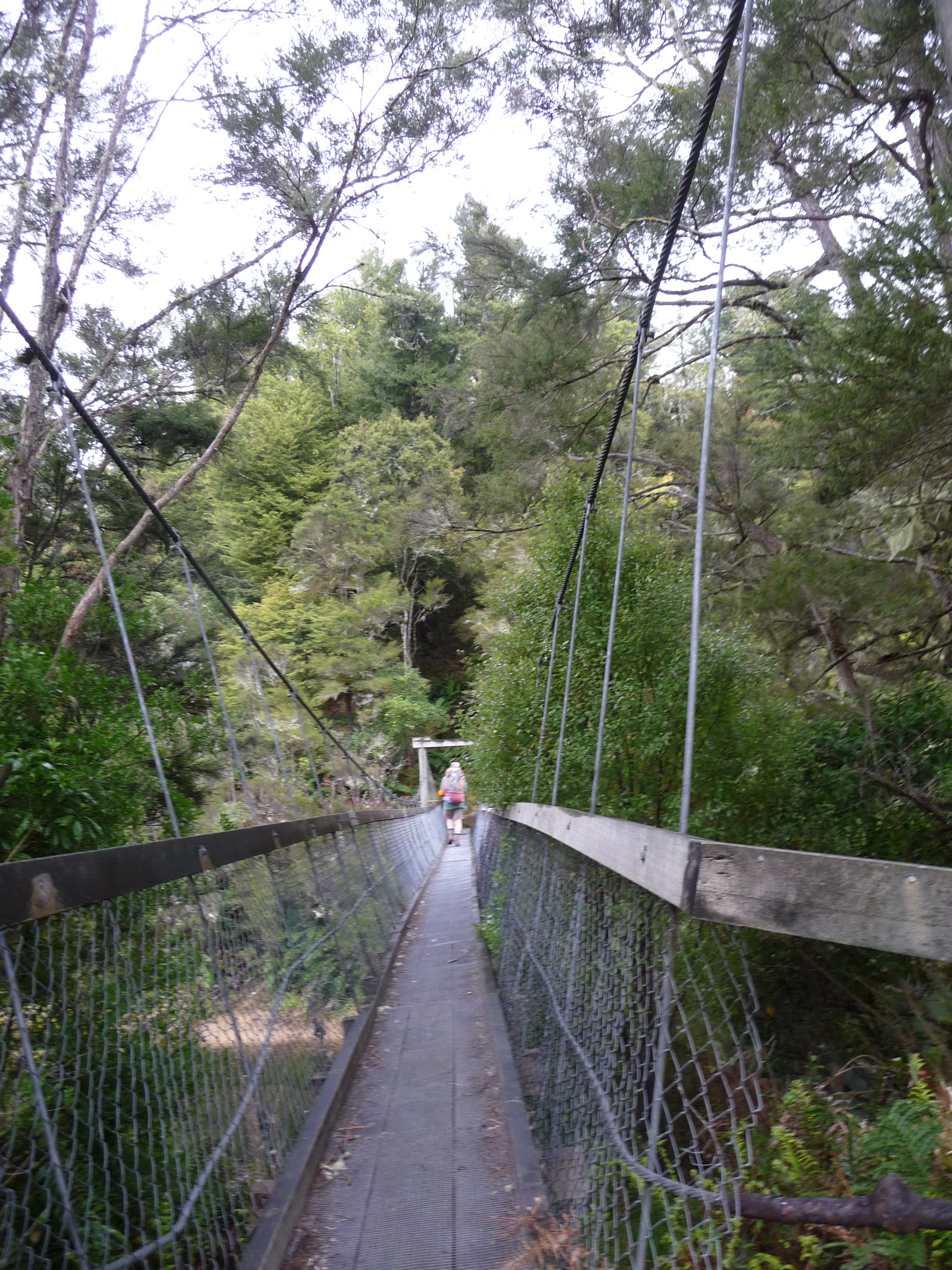
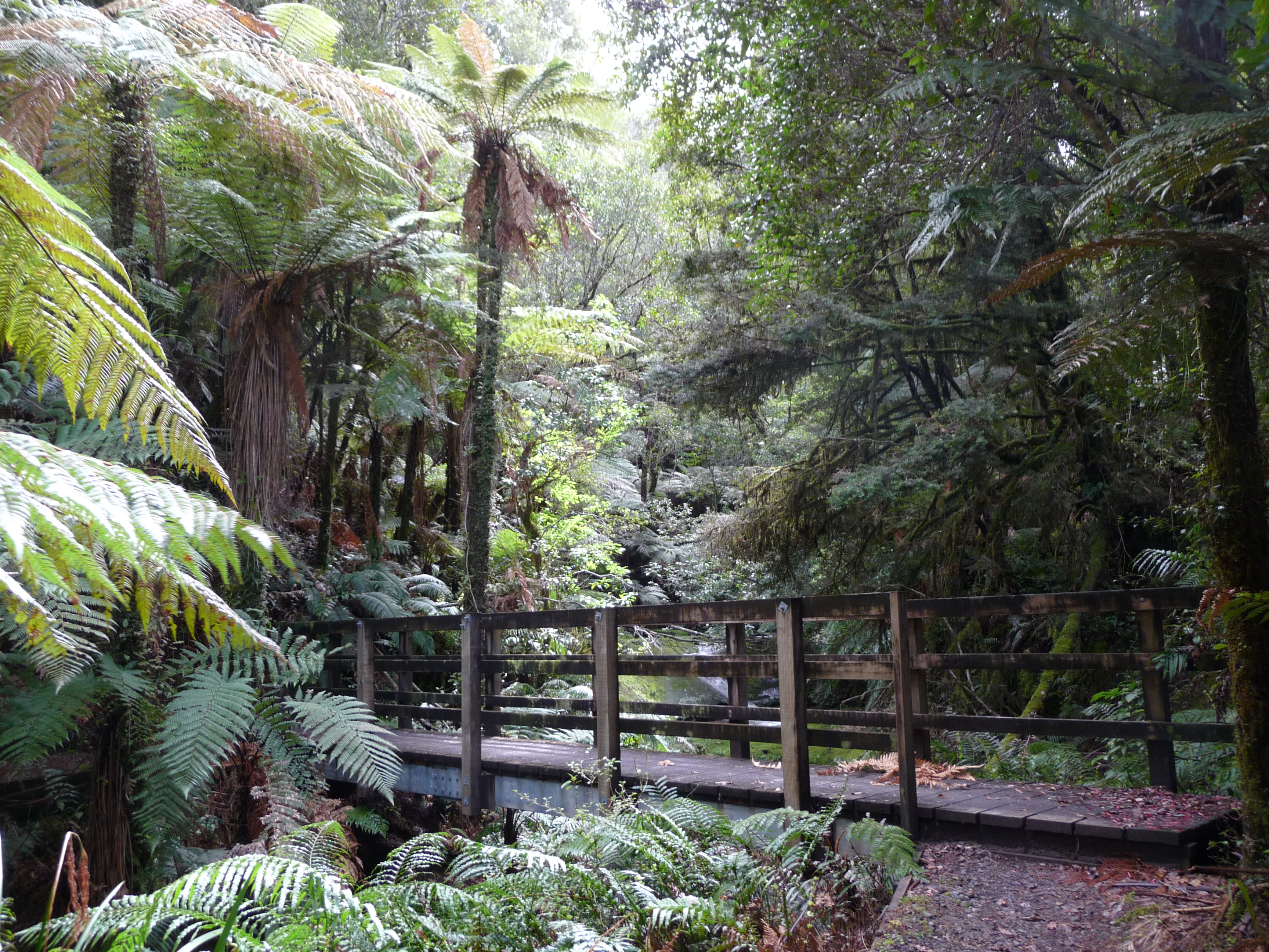
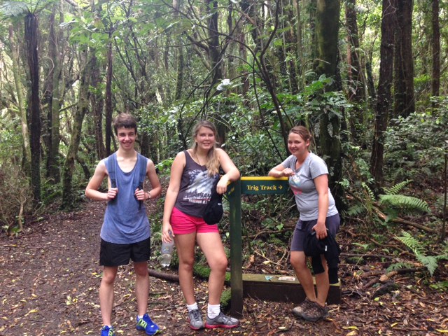
There’s plenty to do, wandering around enjoying the scenery or looking for birds. Most people, like us, walk to the top of the mountain, Tuteremoana, over 500 metres above sea level. There are two tracks, the more difficult Trig Track and the Wilkinson Track, named after one of the early rangers. We opted for the easier track but the teenagers in our group tackled the Trig Track. Once at the top there is a lookout tower which gives a magnificent view over the sheer cliff, which makes up the other side of the island, and to the sea beyond. The round trip on the Wilkinson Track took three and a half hours.
Meeting place of the Trig and Wilkinson Tracks, halfway up Tuteremoana
After our walk we wandered back to the DOC information centre and some of our party decided to have a swim. The water was clear and deep, but not too cold, they assured us.
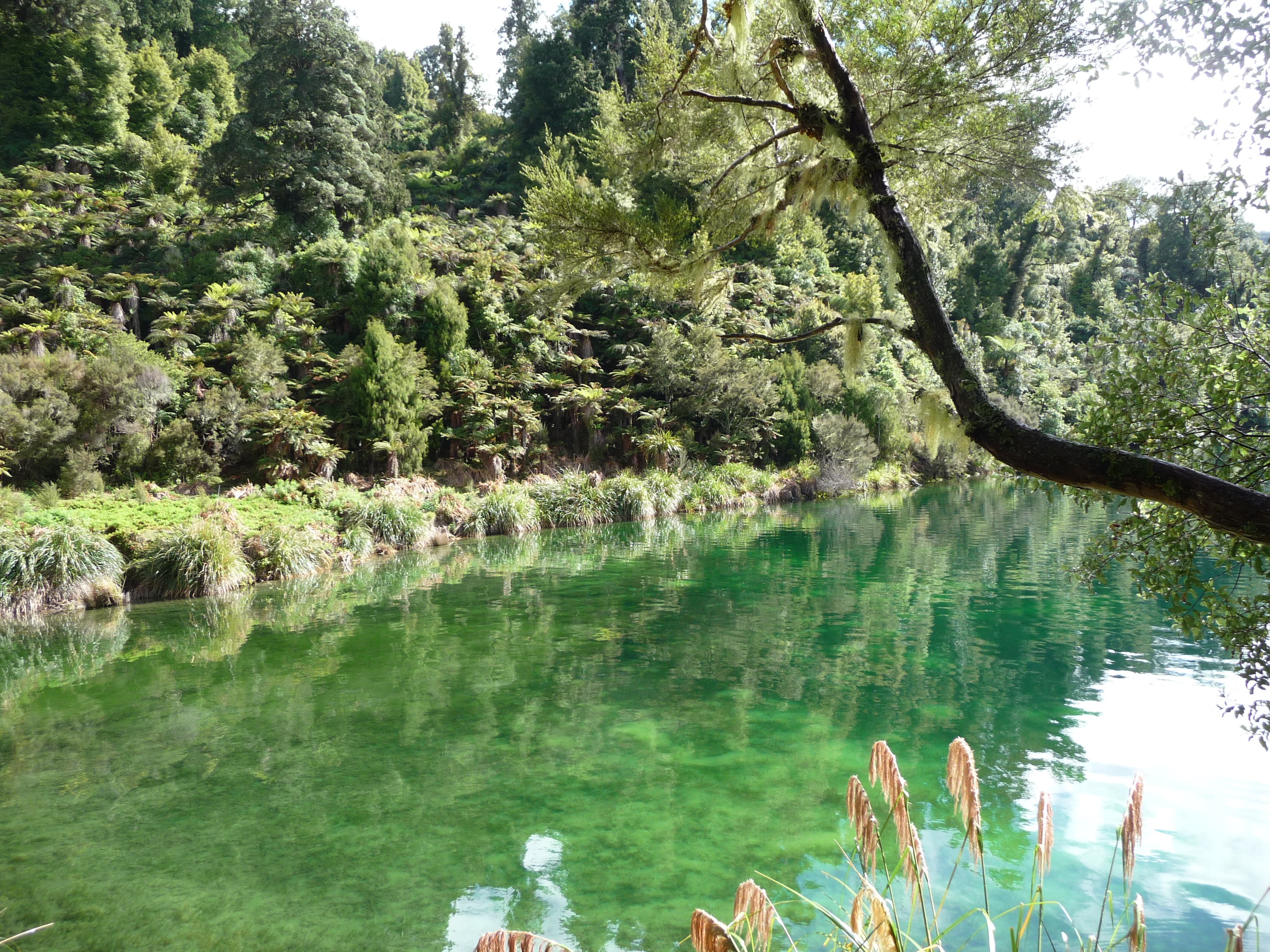
Beach, Kapiti Island
After a very full six hours on the island our friendly skipper, Ross, arrived to take us back to Paraparaumu. We all felt we’d seen aspects of New Zealand for the first time, glimpsed briefly what it must have been like pre-European and had the chance to experience and explore a very special place. It had been a great day.